航拍几何
Aerial Geometry
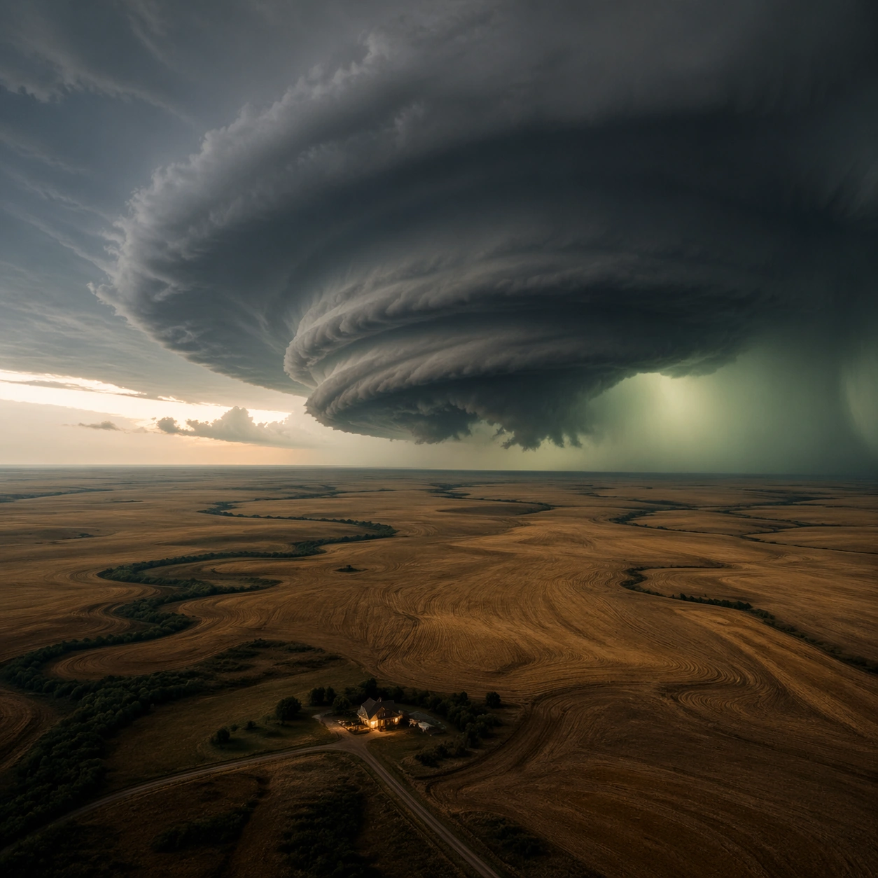
航拍几何:围绕大平原超级单体风暴的独立单图研究,强调这一构图切面。
作品信息
风格标签
提示词原文英文,可直接复制使用
Scene:
Create a square, photoreal landscape study of supercell plains storm. Compose it as the planform geometry and overall shape logic of the landscape, using an elevated oblique aerial view that still preserves believable scale and natural topography. Let light reveal contour, fracture, and pattern instead of flattening the terrain Keep the frame cinematic but disciplined, with a clear foreground, middle distance, and far mass so the viewer can measure real depth. The image should feel like a field photograph made with patience, precision, and sublime restraint rather than a fantasy matte painting.

Subject:
Show a rotating supercell thunderstorm over open plains, with a visible mesocyclone, green-tinted lower sky, golden wheat fields, and one isolated farmhouse with a lit porch. This variation should emphasize aerial scale read. The main landform must dominate the composition, but secondary elements should quietly explain how the place works: water paths, sediment lines, snow bands, surf, ash, wind streaks, stars, or human traces where appropriate. Everything in the image should support the same idea of scale and climate, so the scene reads as one coherent environment rather than a stack of spectacular details.

Important details:
Preserve storm-scale cloud rotation, believable shelf and inflow structure, tension between calm land and violent sky, and clear atmospheric depth across miles of open country. Emphasize rhythm, repetition, and large-form geometry without losing physical realism. Keep geology, weather, and atmosphere physically believable. Use subtle micro-texture, tonal separation, and air perspective to reinforce distance. If a human, vehicle, tent, caravan, bird, or boat appears, it must remain tiny and subordinate to the landscape, functioning only as a scale witness. The composition should feel original, severe, and elegant, with no decorative filler and no imitation of any copyrighted visual property.

Use case:
Supercell Plains Storm single study 3/9, exploring the aerial scale read variation.

Constraints:
No readable text, no watermark, no logos, preserve exact 1:1 aspect ratio, no tornado touching down unless implied at a great distance, no apocalyptic debris, no city skyline, no lightning overload, no map labels, no diagram arrows, no satellite-interface graphics, no kitsch color grading, no artificial border, no split-panel treatment.